Chaingang Ride Routes
Cycling and cycle sports are by their nature dangerous and accidents can occur to participants.
All the information on this site is designed as a guide only – the reader takes full responsibility for any use they make of the information.
*** Only 3 have GPX links at the moment: Tanworth, Inkberrow and the Vélo. More can be added. ***
Cyclists – you are fully responsible for your actions
We’ve tried our best to make the route guides and gpx files as accurate as possible but weather, rider and road conditions can change.
We can not assume any liability for your riding. In no event, shall we accept any liability for any injury, loss, or damage incurred by use of, or reliance, on information on this website.
0 to 23 mile Rides
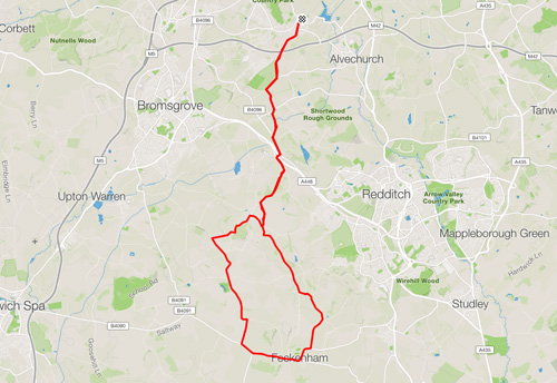
Feckenham
21 Miles, Total Climb 931 feet
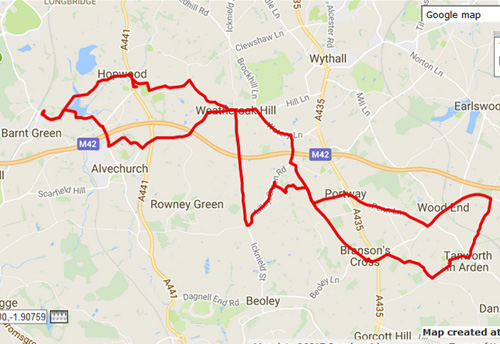
Tanworth in Arden
21 Miles, Total Climb 1016 feet
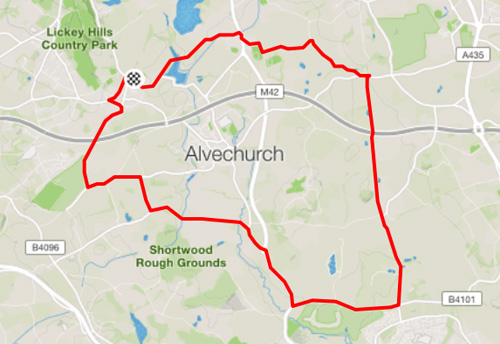
Last of the Summer Wine
13.5 Miles, Total Climb 823 feet
Need to know
How to save and view GPX files
To Download Viewing Routes:
Right-Click on the link and ‘Save link as…’ Then save to your Garmin in the New Files folder.
To view a route
On any device you need a GPX viewer such as http://www.gpsvisualizer.com, or download an app to your phone .
Strava Add-Ons:
http://www.scarletfire.co.uk/strava-sites
Large list of Strava sites and related Strava add-ons and resources.
24 to 60 mile Rides
Galton Arms
31 Miles, Total Climb 1299 feet
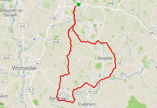
Pershore – Bideford
56 Miles, Total Climb 1920 feet
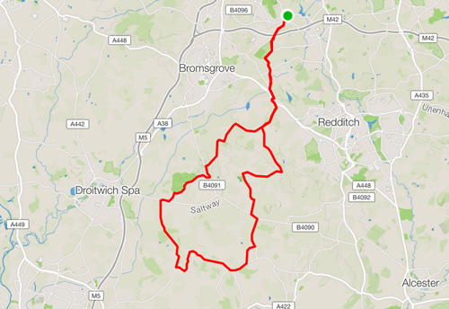
Inkberrow
30 Miles, Total Climb 1324 feet

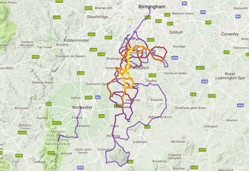
Strava Multiple Ride Map
All of your rides on one map
61 mile and higher Rides
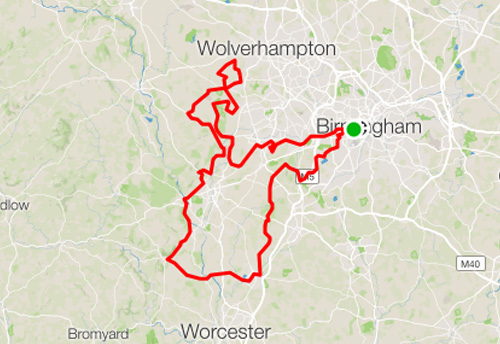
Vélo Birmingham 2017
100 Miles, Total Climb 5765 feet
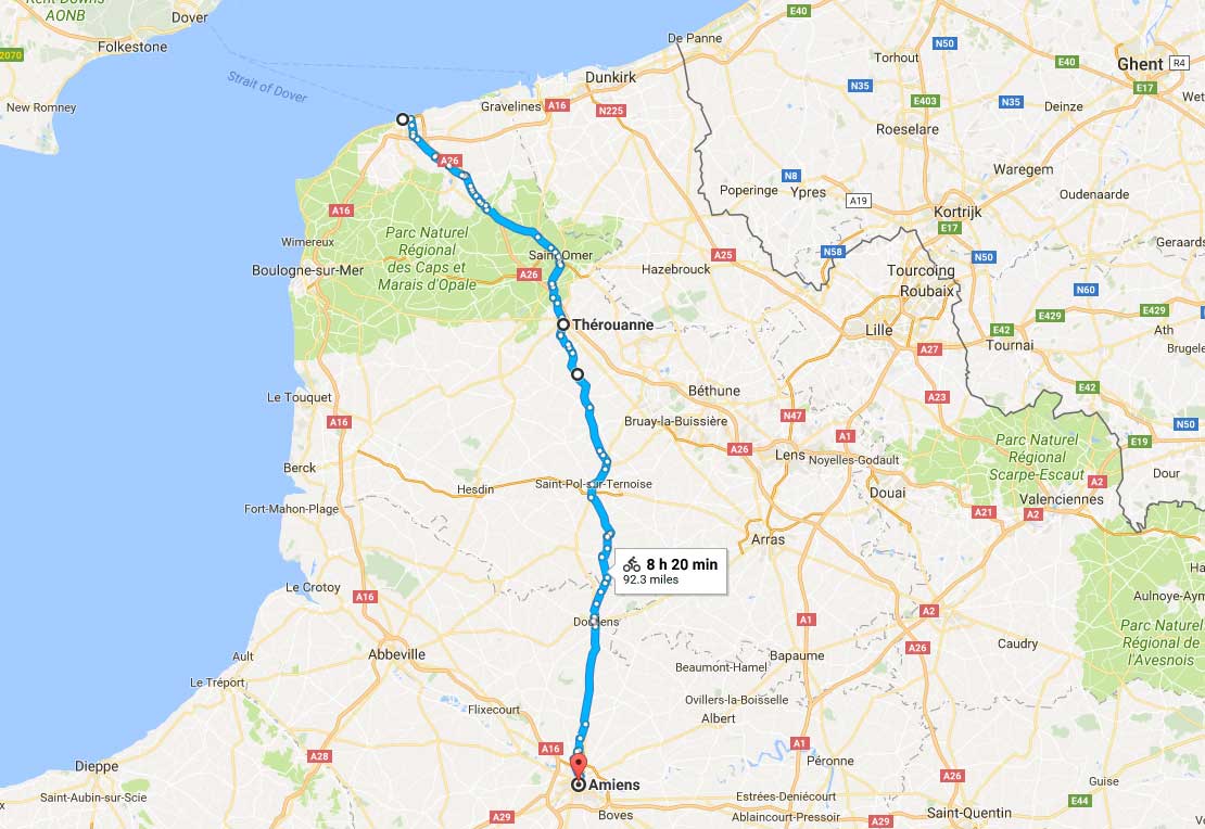
Calais – Amiens
93 Miles, Total Climb 2783 feet